Our Services
Comprehensive solutions tailored to your needs

Alta Survey
Alta Survey services provide detailed insights into property boundaries and land use, essential for real estate transactions and development projects. This service ensures compliance with American Land Title Association standards, offering peace of mind in your property dealings.
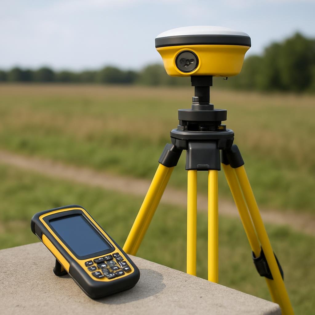
Boundary Survey
A boundary survey accurately determines the property lines of a parcel of land, ensuring clarity in ownership and helping to resolve disputes. This service is essential for property transactions, construction projects, and land development to establish legal boundaries.
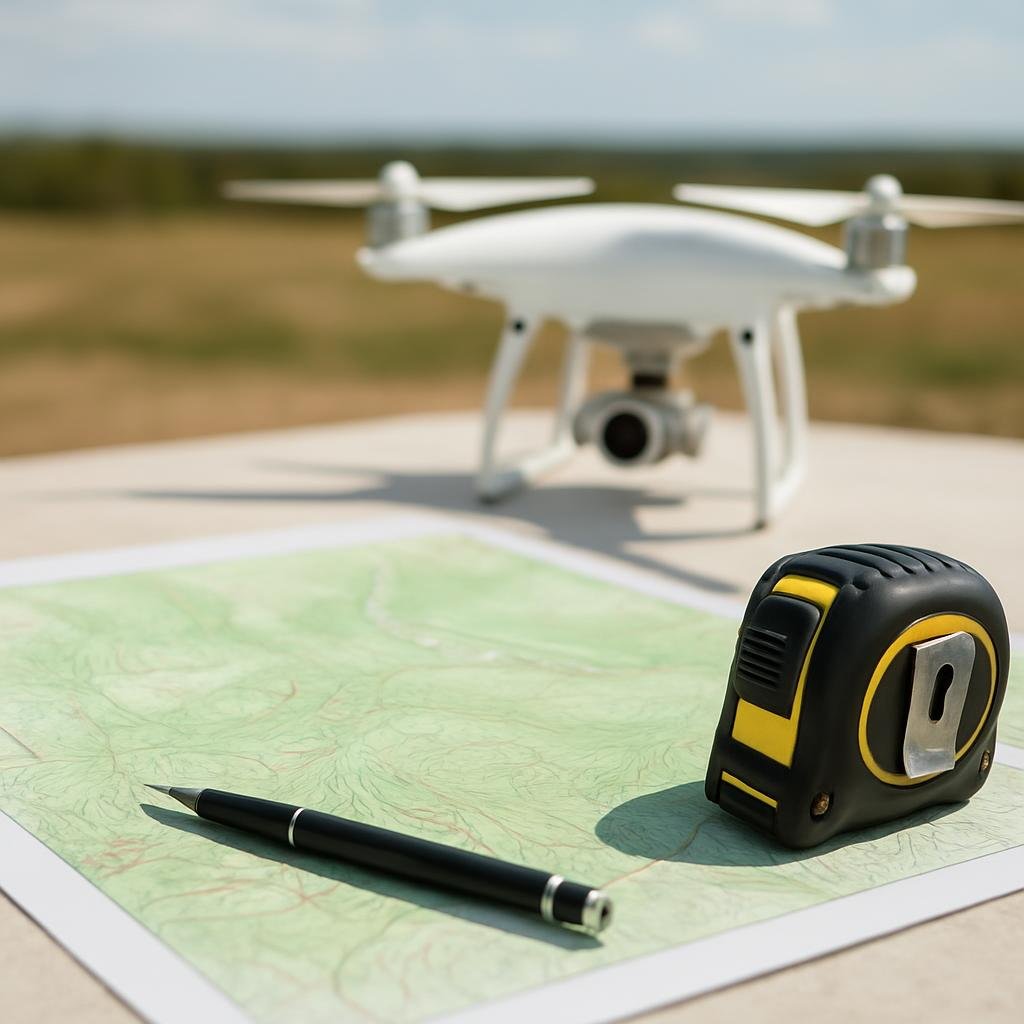
Topographic Survey
Trotter Surveying LLC provides topographic surveying services to accurately map the contours and features of land. This essential service helps clients understand site conditions for construction, development, and land use planning.

Elevation Certificate
An Elevation Certificate is a crucial document that provides information about the elevation of a property in relation to flood zones. This certificate is often required for flood insurance and can assist in determining risks and compliance with local regulations.
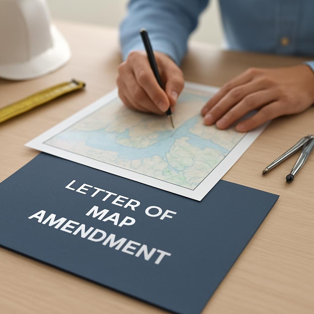
FEMA Letter of Map Amendment
The FEMA Letter of Map Amendment service assists property owners in obtaining formal recognition of changes to flood zone designations, ensuring accurate mapping for insurance and development purposes. This service is essential for protecting property investments and meeting regulatory requirements.

General Inquiry
For general questions and inquiries not related to a specific service.
Ready to Get Started?
Contact us today for a free consultation and let's discuss your project.
